EAST TENNESSEE GEOLOGICAL SOCIETY
| Geology of the Oak Ridge Area |
| Anderson County, Tennessee |
| Saturday, December 9, 2023 |
| Trip Leader: Dr. Robert D. Hatcher Jr. |
Meeting Point /
Field Trip Guide Book /
Google Earth KMZ File
Click the links below to see photographs at each of the field trip stops.
| Meeting Point | Parking Lot off Manhattan Avenue, Oak Ridge, TN |
| Stop 2 | STOP 2-Chickamauga Group (and Rome Formation) at Solway Bridge GPS Location: 35.992214 N -84.195985 W |
| Stop 3 | STOP 3-Top-of-Knox unconformity at Edgemoor Road-Melton Lake Drive
intersection GPS Location: 36.018343 N -84.166181 W |
| Stop 5 | STOP 5-Rome Fonnation at Moores
Gap Church on Moores Gap Road (1-75 Frontage Road) GPS Location: 36.137760 N, -84.045085 W |
| Stop 7 | STOP 7-Pennsylvanian Rocks across from Recycle Center on Frost
Bottom Road at Waste Connections convenience center East of Oliver
Springs GPS Location: 36.050831 N, -84.314182 W |
| Stop 8 | STOP 8-Rocks Exposed at the Southwest end of Country Club Estates in
Oak Ridge GPS Location: 35.967116 N, -84.327849 W |
All photos by Bob
Gelinas unless otherwise specified.
Click on photos to enlarge and use
your browser back button to return to the photo table.
|
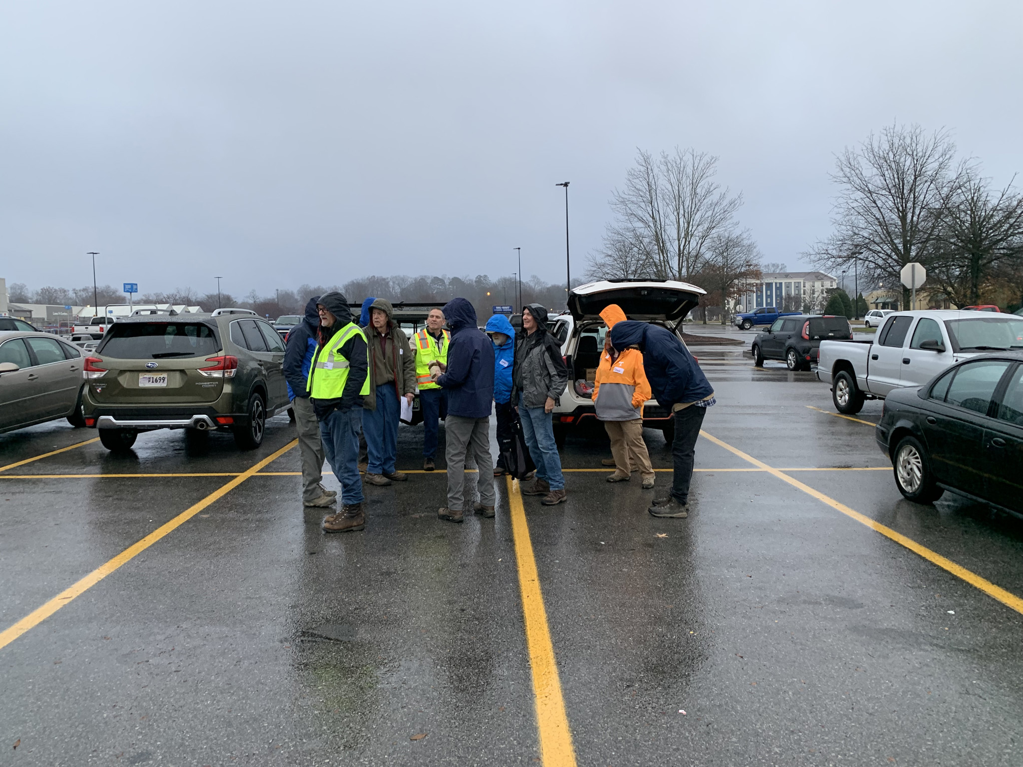
Meeting Point. The morning had an inauspicious start with steady rain and cool temperatures. The ETGS membership stood strong and virtually everyone showed up for the field trip! |
|
 |
|
| To the TOP | |
|
Page updated
December 28, 2023 |