EAST TENNESSEE GEOLOGICAL SOCIETY
| Structural Geology of the Chattanooga Area - 2007 Spring Field Trip |
| Hamilton County, Tennessee |
| Saturday, April 14, 2007 |
| Trip Leaders: Dr.
Jonathan W. Mies Mark
Gardiner |
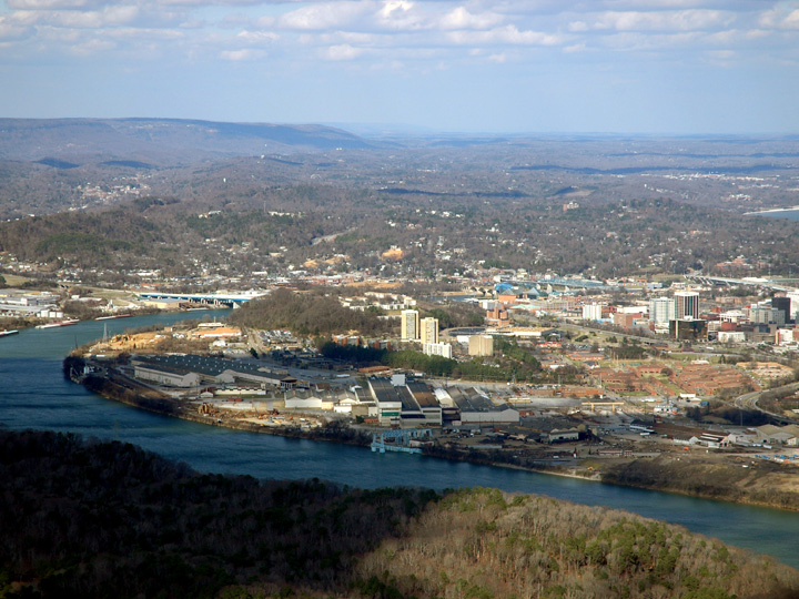
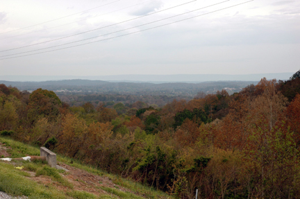
View of
downtown Chattanooga and Moccasin Bend
from Point Park, a prominent Civil War battlefield on Lookout
Mountain.
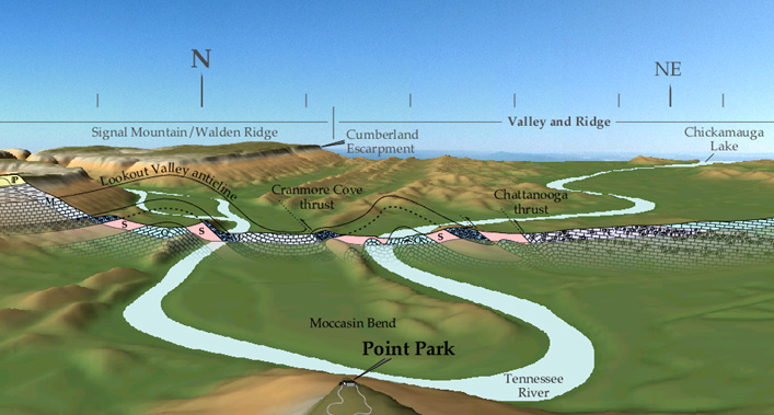
Digital terrain rendered from USGS 10-m digital elevation data for various quadrangles in the Chattanooga area. Observer is 500 meters above Lookout Mountain at the Georgia/Tennessee state line (35.000 N, 85.347 W) looking north, over the shoulder of Point Park. Geologic cross section is revealed by a 1-kilometer-wide trench. Geology interpreted from Milici and others (1978, Geologic Map of Hamilton County, Tennessee: State of Tennessee, Department of Conservation, Division of Geology, Bulletin 79, Plate 1).
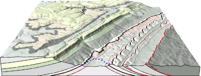
Rendered
10-meter digital elevation model (DEM) of part of the Fairmount
Quadrangle showing the Lookout Valley anticline. The black layer
is Devonian Chattanooga Shale. The Cranmore Cove and Chattanooga
thrust faults are shown in red. Pennsylvanian rocks cap the
Cumberland Plateau (Walden Ridge/Signal Mountain).
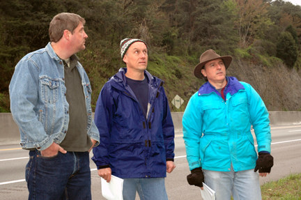
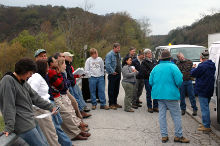
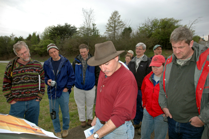
ETGS members traveled to the Chattanooga area on April 14, despite predictions of substantial rainfall. This trip complimented Dr. Mies' presentation at the April 9th ETGS meeting.
The following photographs were made by Brad Stephenson. The apparent autumn colors in some photos resulted from an early-April freeze after an unseasonably hot March.
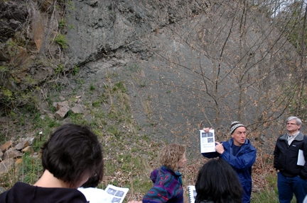
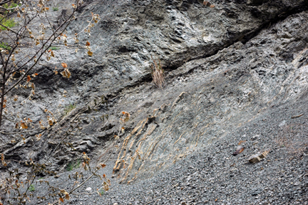
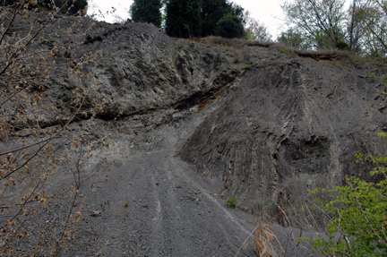
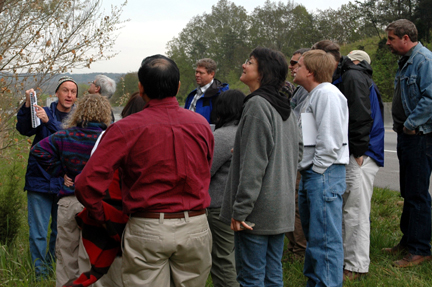
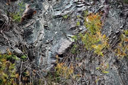
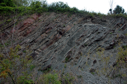
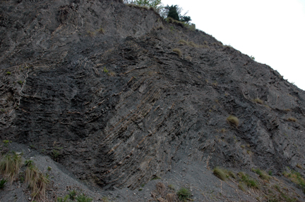
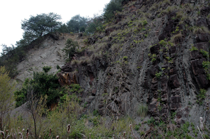
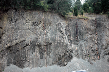
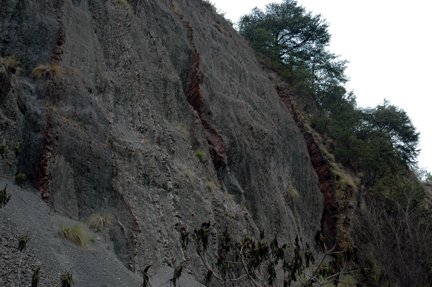
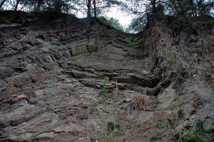
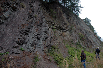
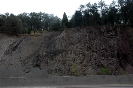
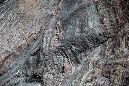
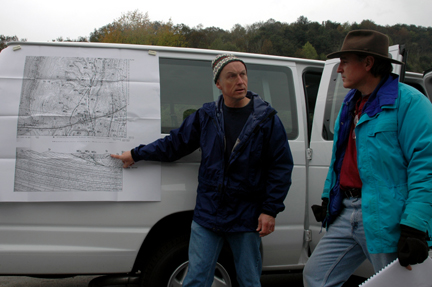
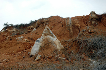
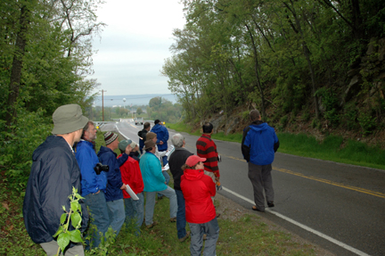
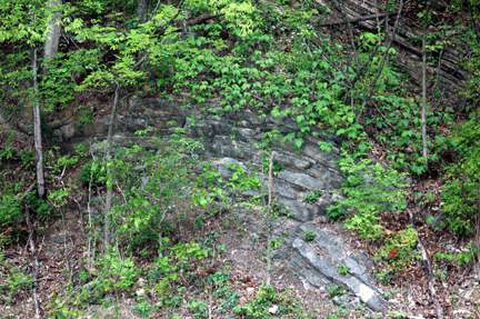
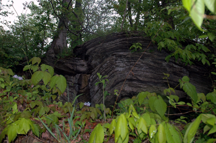
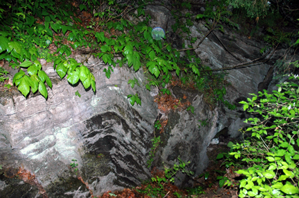
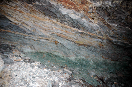
Following introductions and orientation in a Cleveland parking lot, our first destination was the classic series of road cuts through Whiteoak Mountain (officially designated White Oak Mountain by the U.S. Geological Survey). This site straddles the boundary between Hamilton and Bradley counties along I-75 (between mile markers 14 and 16) and provides exposures of portions of the Whiteoak Mountain synclinorium, including dramatic examples of the faults and folds that characterize the Valley and Ridge province (Wilson, 1986). |
|
|
|
 |
 |
 |
 |
|
|
|
|
|
|
|
|
|
|
|
|
|
|
|
|
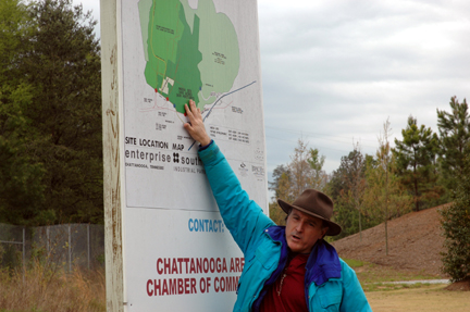
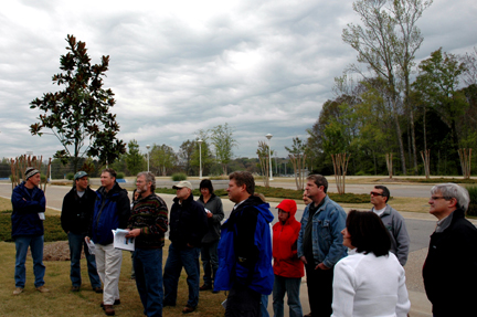
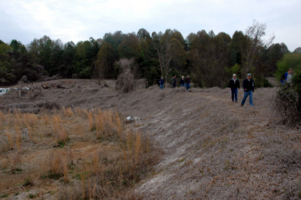
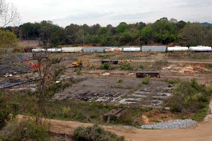
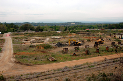
The geology, stratigraphy, and environmental contamination of the area were examined with emphasis on (1) how the structural geology impacted development of the manufacturing areas, (2) the role of weathering of the parent rocks to residuum soil on the distribution of explosives contamination in soil and groundwater, and (3) the karst geology and its effect on groundwater contaminant distribution in bedrock. |
|
|
|
|
|
|
|
|
|
|
|
|
|
|
|
|
|
|
|
|
|
|
|
|
|
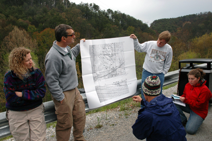
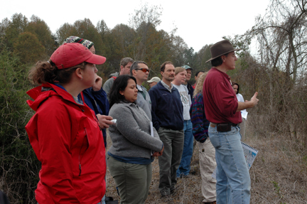
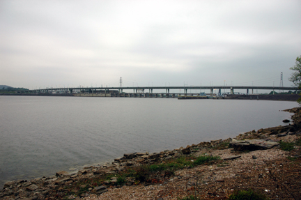
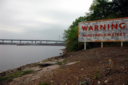
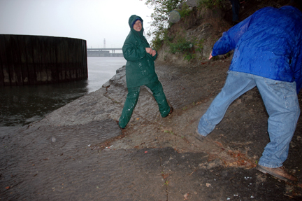
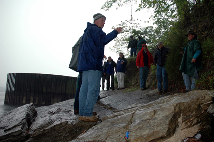
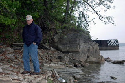
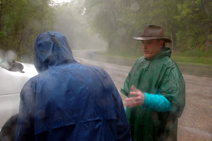
A cold deluge descended on us during our visit to the rock outcrops near Chickamauga Dam. The remainder of the trip included exposures of the Lookout Mountain Anticline, which were viewed from the vehicles, including traverses through the structure at various locations along the axis of the plunging anticline. |
|
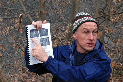
Trip
leaders, Dr. Jonathan Mies and Mark Gardiner |
|
REFERENCES
Wilson, R.L., 1986, Whiteoak Mountain synclinorium, Bradley County, Tennessee: Geological Society of America Centennial Field Guide--Southeast Section, 1986.
|
Page updated
May 19, 2018 |